Ratangad Redemption: Conquering the Fort After Typhoid
21 comments
In the last post you read how while going to Ratangarh our drinking water got over and due to drinking dirty water I got pain in my stomach due to which we had to return half way. Coming back half way was a very painful feeling for me but I could not control the unbearable pain in my stomach due to which we had to take this decision. Somehow Raghu takes me in such a condition to Sandy where he gives me fever medicine from the local doctor.
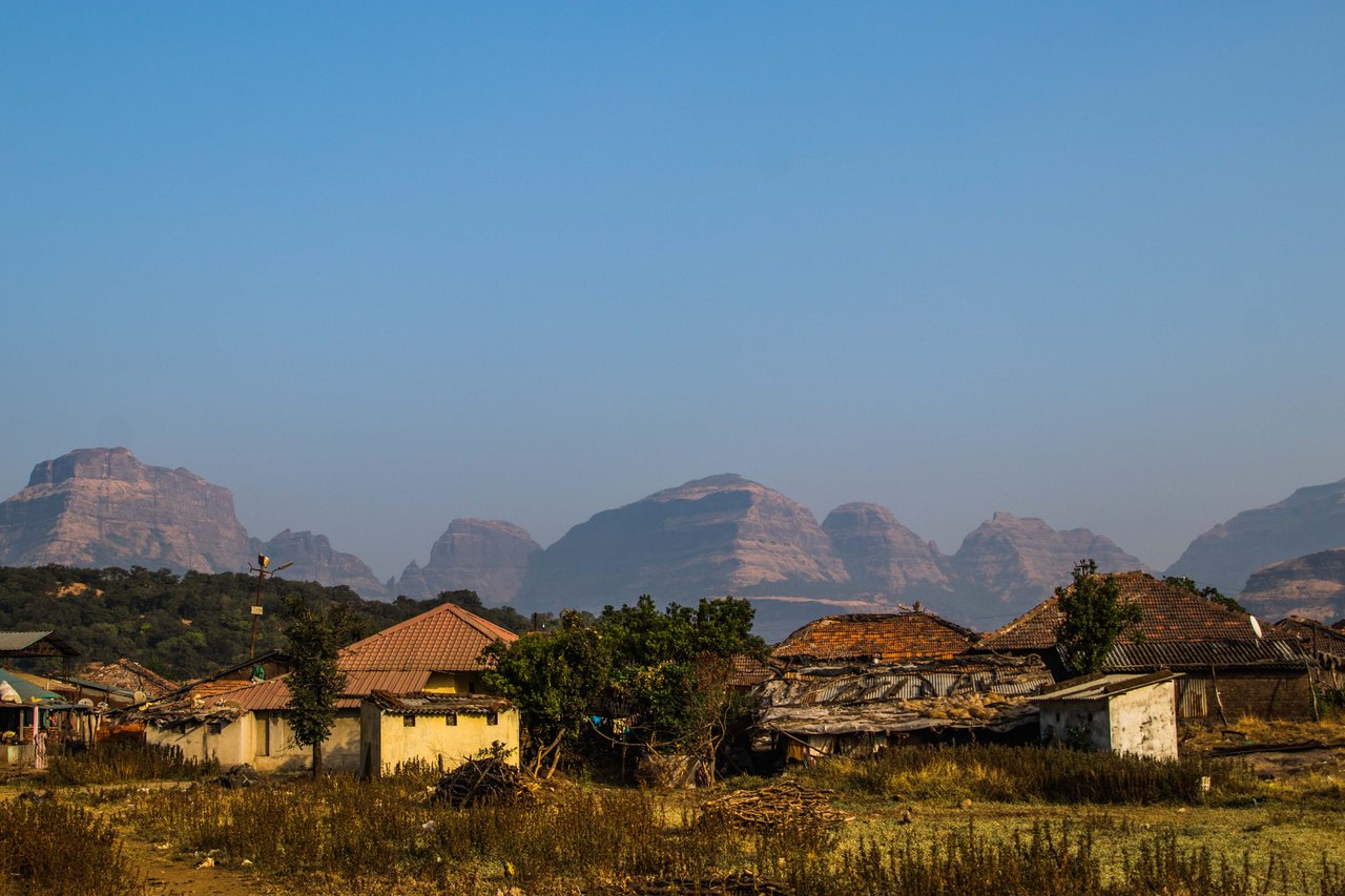
Even after taking the medicine I did not get any relief, I was troubled with pain and high fever the whole night. I could not sleep the whole night and by morning I started having loose motions which lasted for 2 days. The doctor told me that I have got typhoid. I was given fluids because my body became dehydrated in 3 days. After staying with the doctor for several hours, I returned to Sandy village. In the next 2 days I drank a lot of water, took the medicine on time and then I started feeling better.
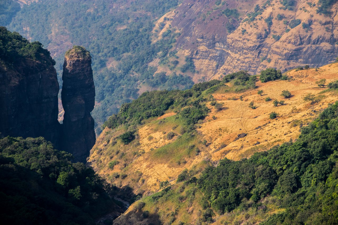
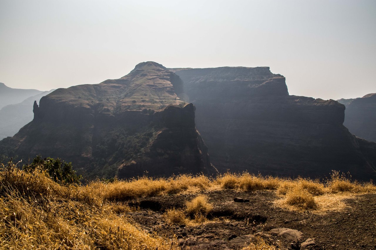
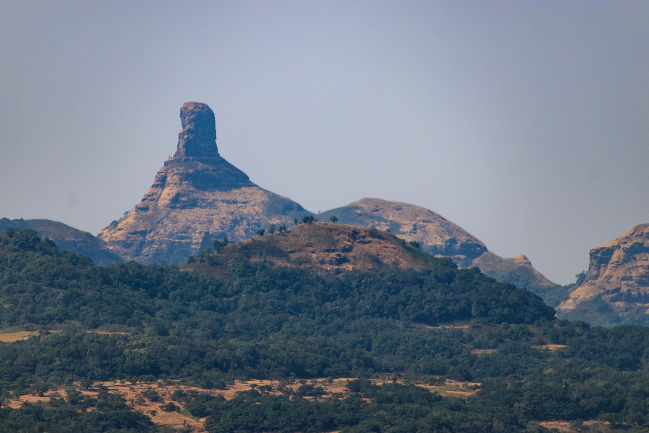
Then I told Raghu that I will go back after completing the work for which I have come here so that I can go and rest. Raghu agrees with me. The next morning we leave with packed lunch, we reach Samard village by motorbike where we park the bike again and set out on foot. The top of Ratangarh is visible from Samard village. From below it looks so attractive that one feels like running and climbing it but I do not want to be a macho man and go comfortably.
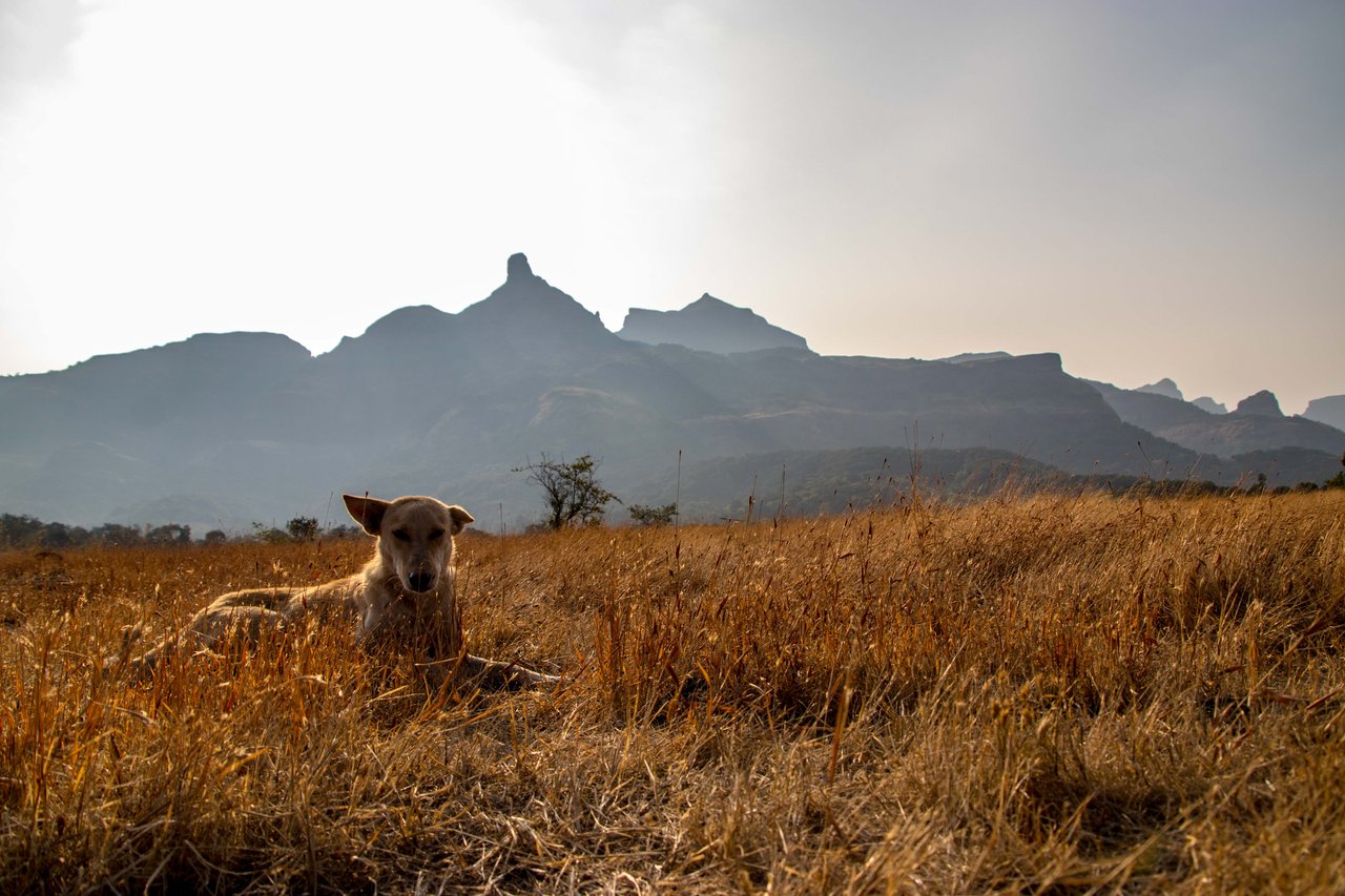
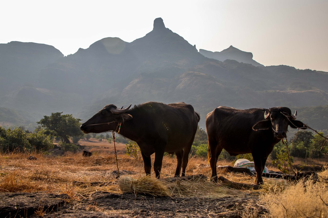
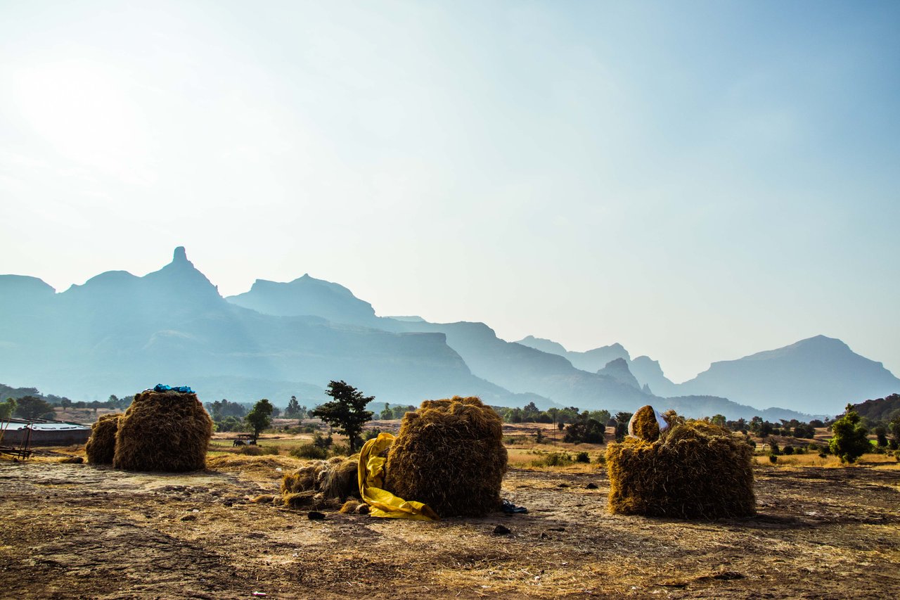
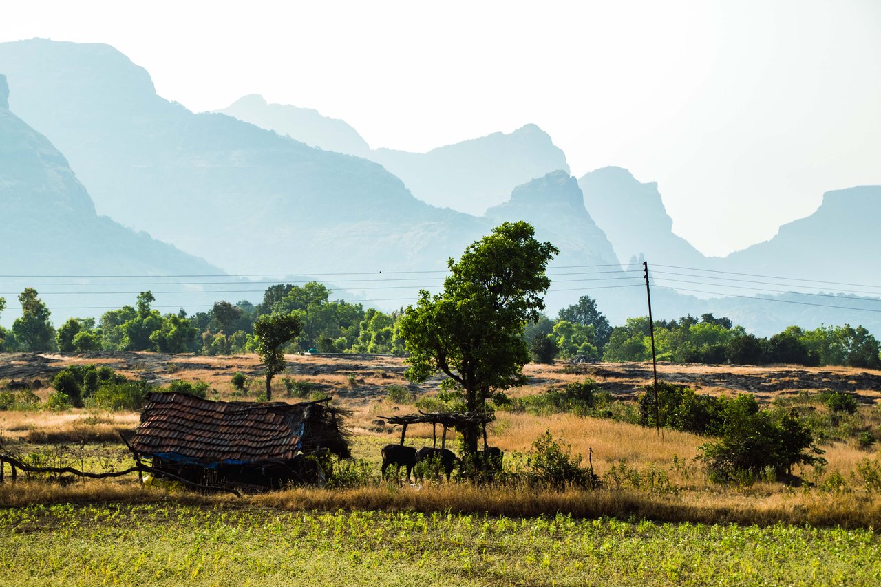
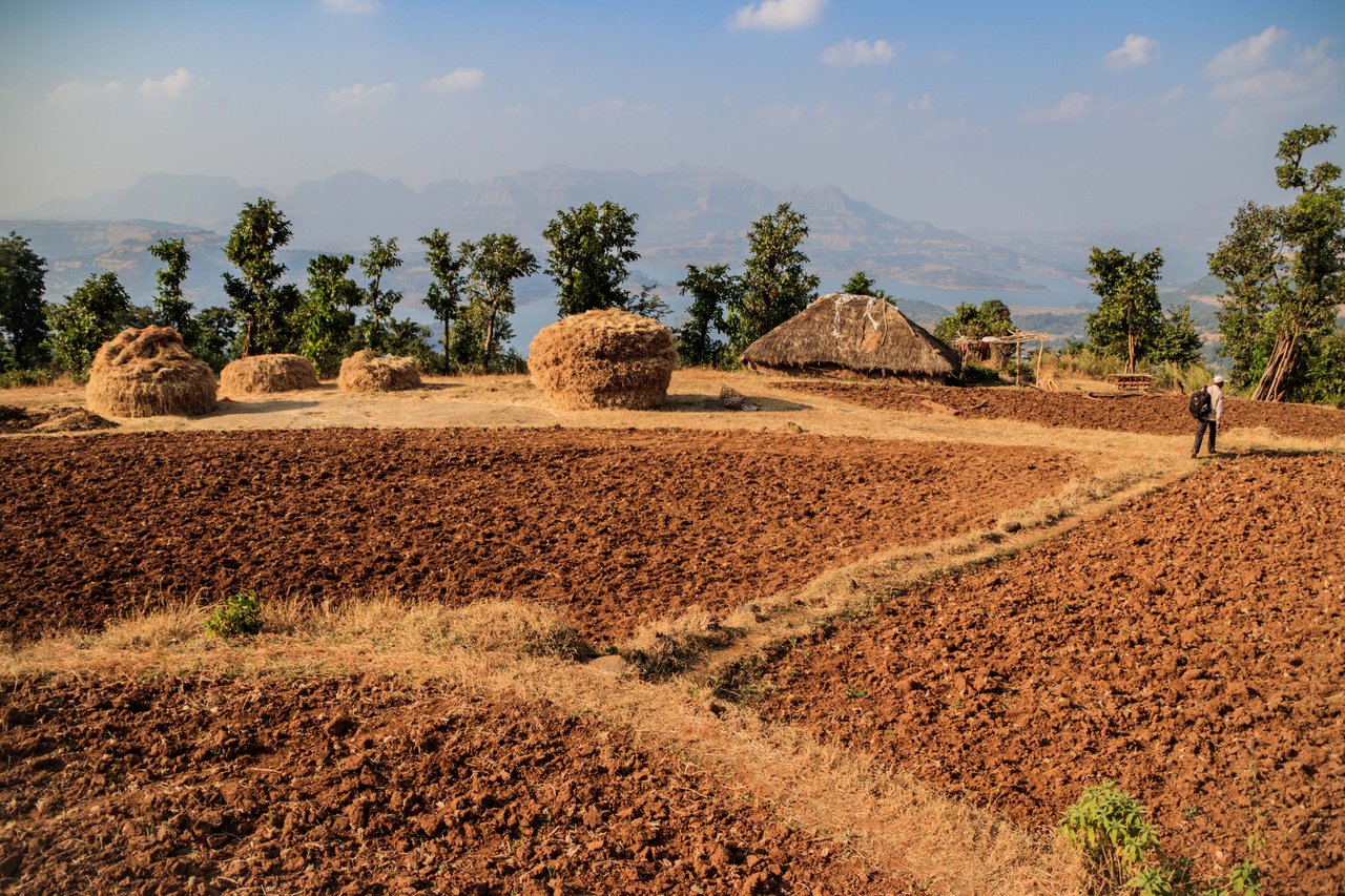
Leaving the boundary of the village we have entered the dry grasslands, the pets of the villagers are roaming here. A dog is basking in the winter sun. The villagers are seen going to collect wood. Grass has been collected outside the village so that fodder is available for the animals in the rainy season. The buffalo tied on the way is looking at me with surprise as if it has seen a ghost. By the way, today I saw myself in the mirror to see how I look after the illness...the answer is handsome.
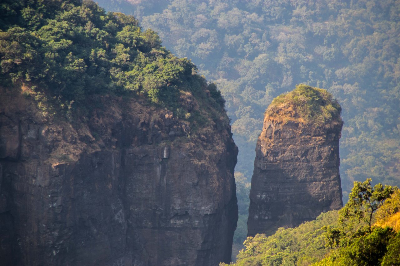
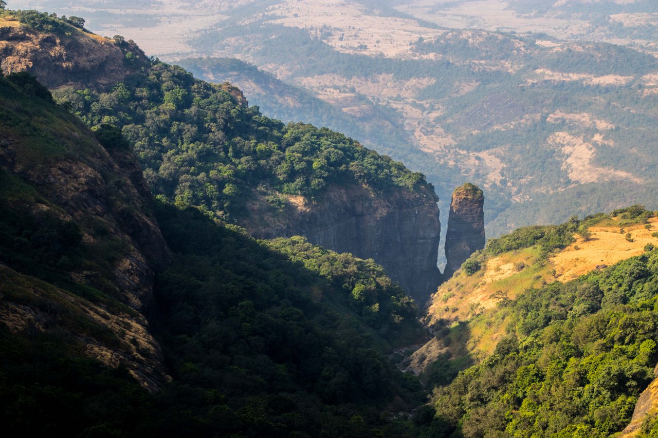
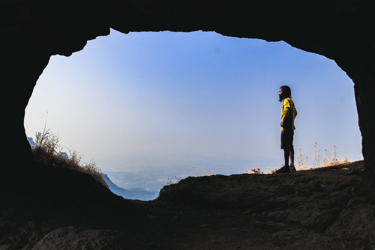
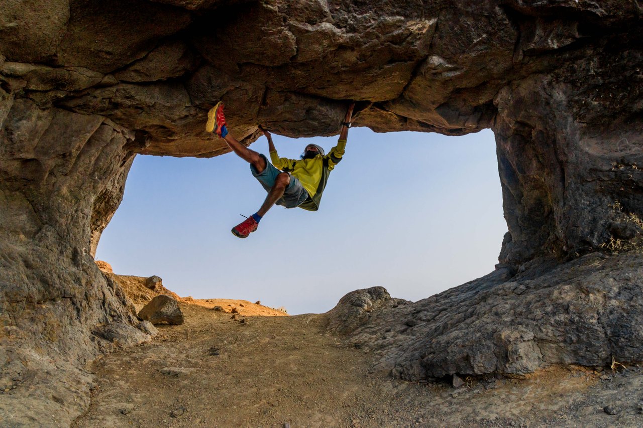
Ratangad Fort is located at a height of 1296 meters, around 12 km away. Situated above Bhandardara, this fort is 400 years old. This hill is also the origin of Pravara River and is located in Ahmednagar District. There is a natural hole on the hill of Ratangad in which I think 100 people can stand together. Even after being ill, I tried free style rock climbing in this hole, in which I was successful to a great extent.
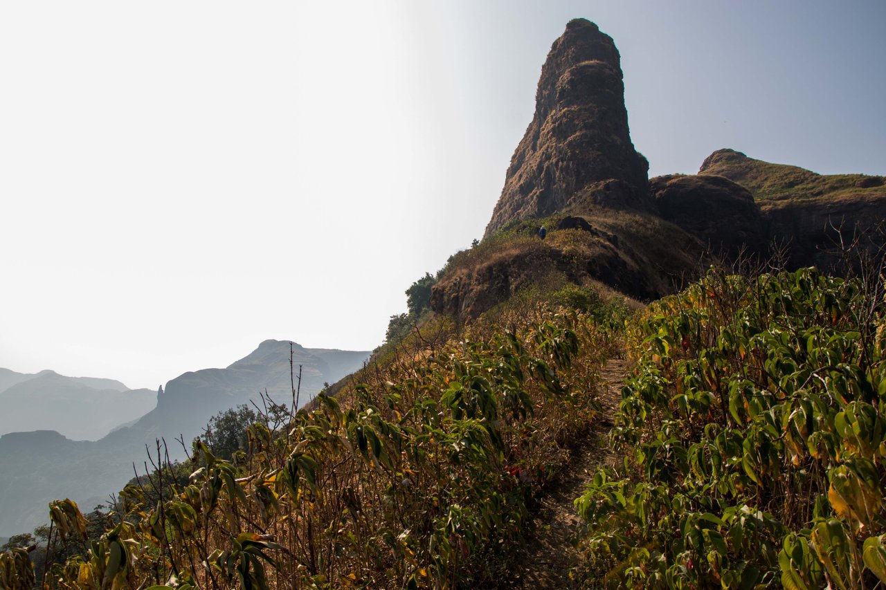
To reach the top of the hill, it was a bit difficult to cross the stairs made on the rocks because these steps were about 2 feet high. Since the ancient path to climb this hill has been broken, iron stairs have been installed to connect the broken paths, on which we have to climb 90% to reach the top. It is believed that the hole made on the top has been formed due to the gusts of wind blowing for centuries.
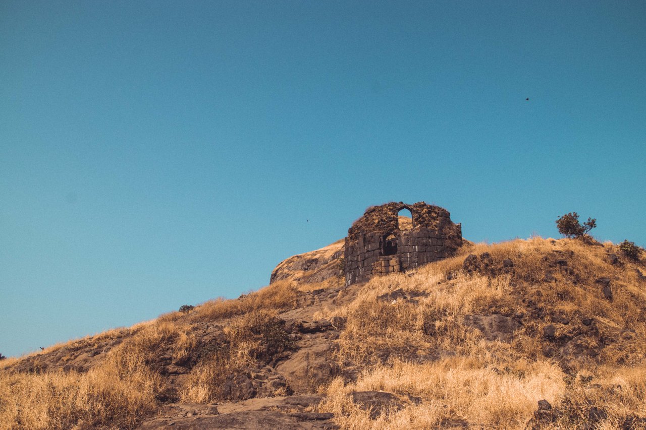
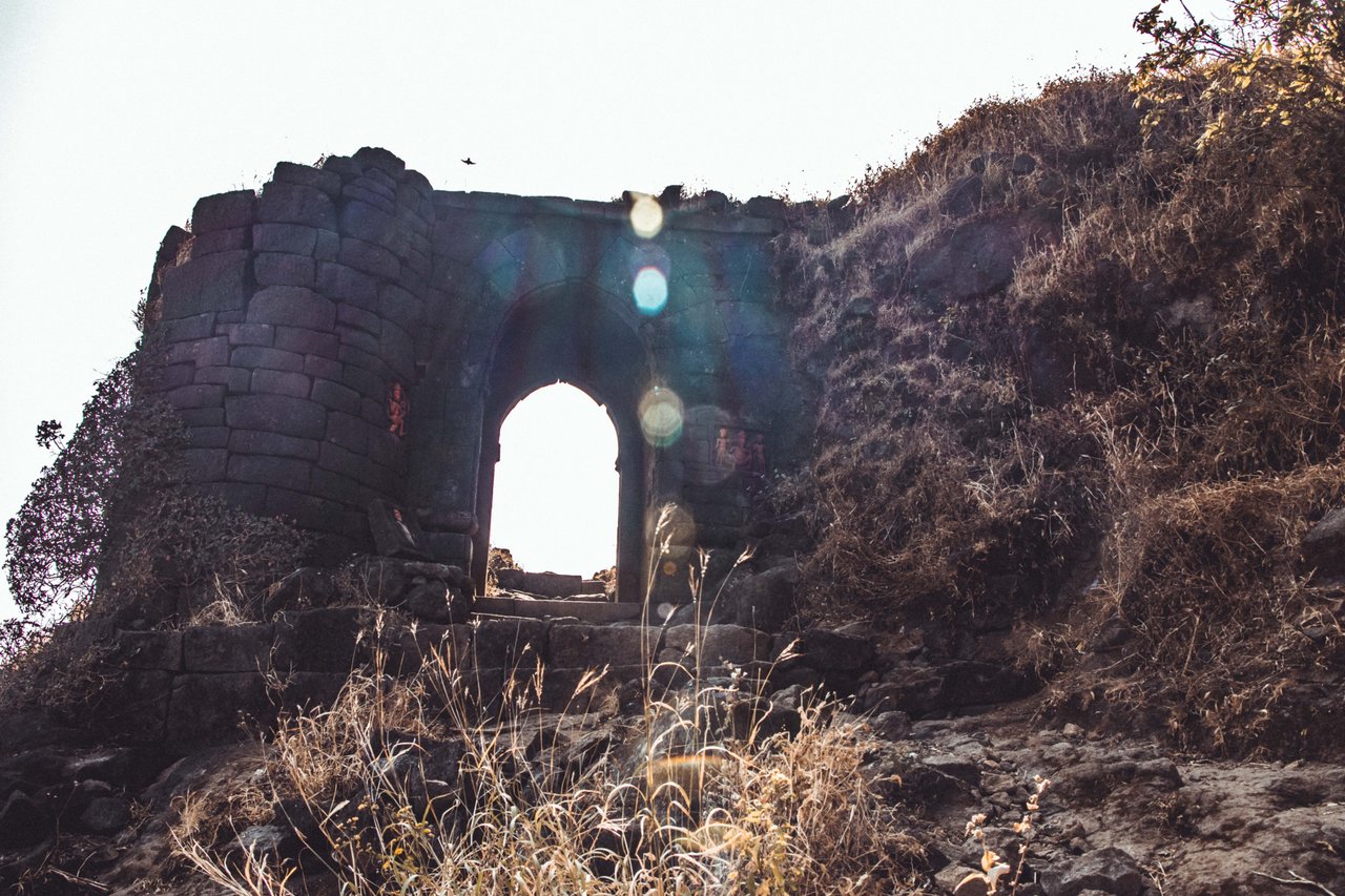
Moving ahead we reach the iconic gate of Ratangarh which is also known as 'Triyambak Gate'. After entering the Triyambak Gate, we finally enter the Ratangarh Fort where the grandeur of this fort can be felt by looking at its walls. A pond has also been built on the top of the mountain for water harvesting in which water is collected during the rainy season. Nowadays, tourists coming here complete their journey by drinking this water.
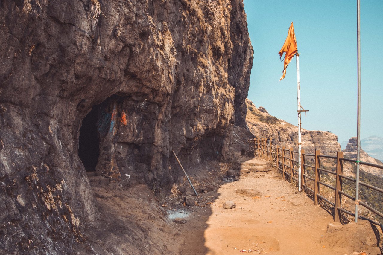
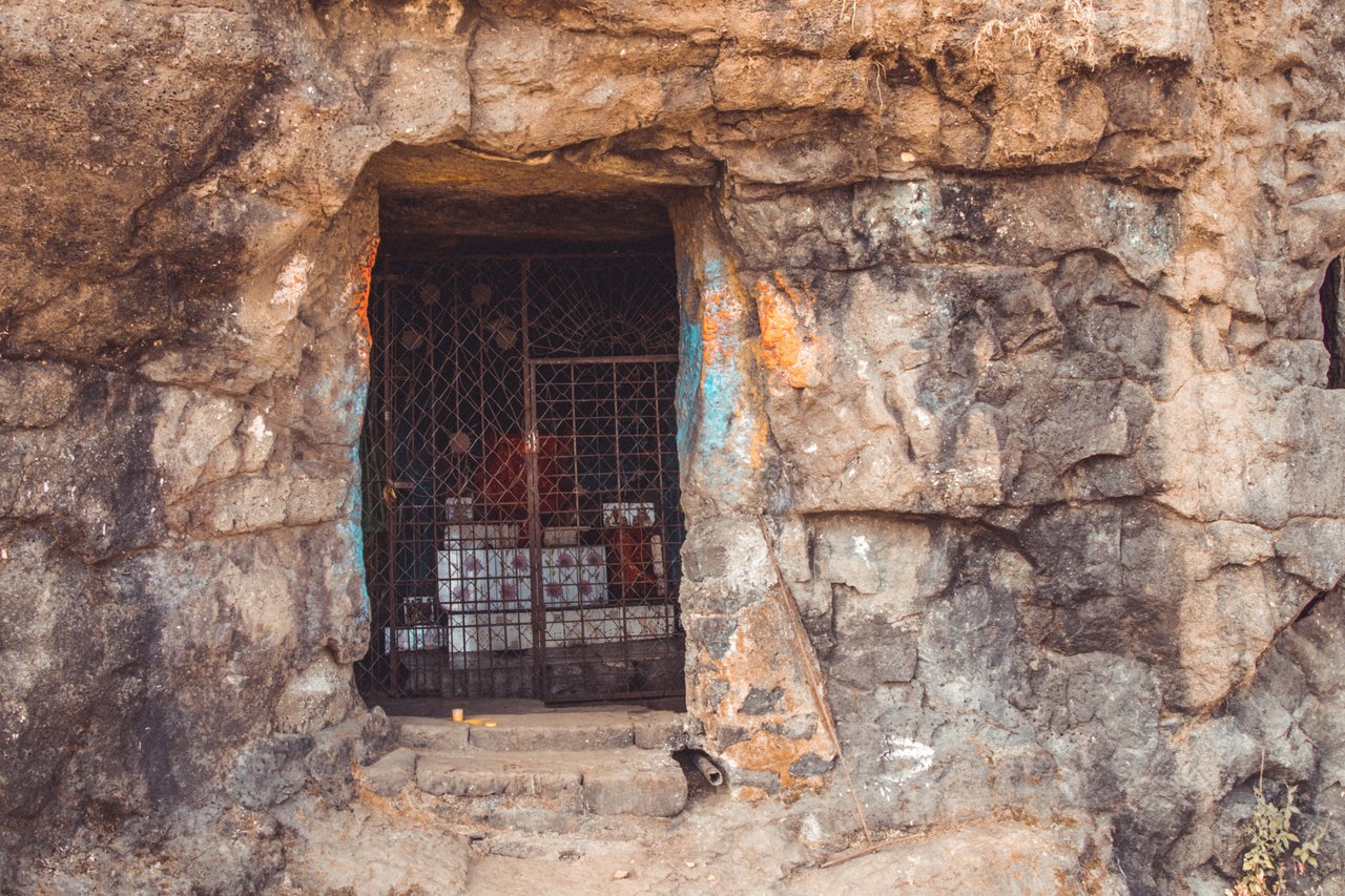
I have taken boiled water from sandy with me and I have promised myself that I will drink only this water and will not touch any other water. The temple of Ratna Devi is also situated at the top which is built inside a cave. A cave has been made by cutting the rocks, inside which the idol of the goddess has been installed. There is also a small pond outside the temple, whose water is used by the locals for drinking.
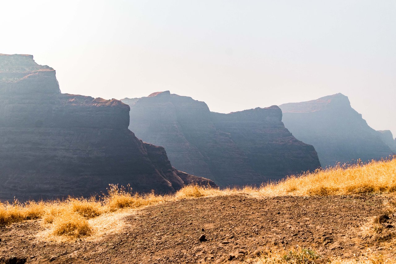
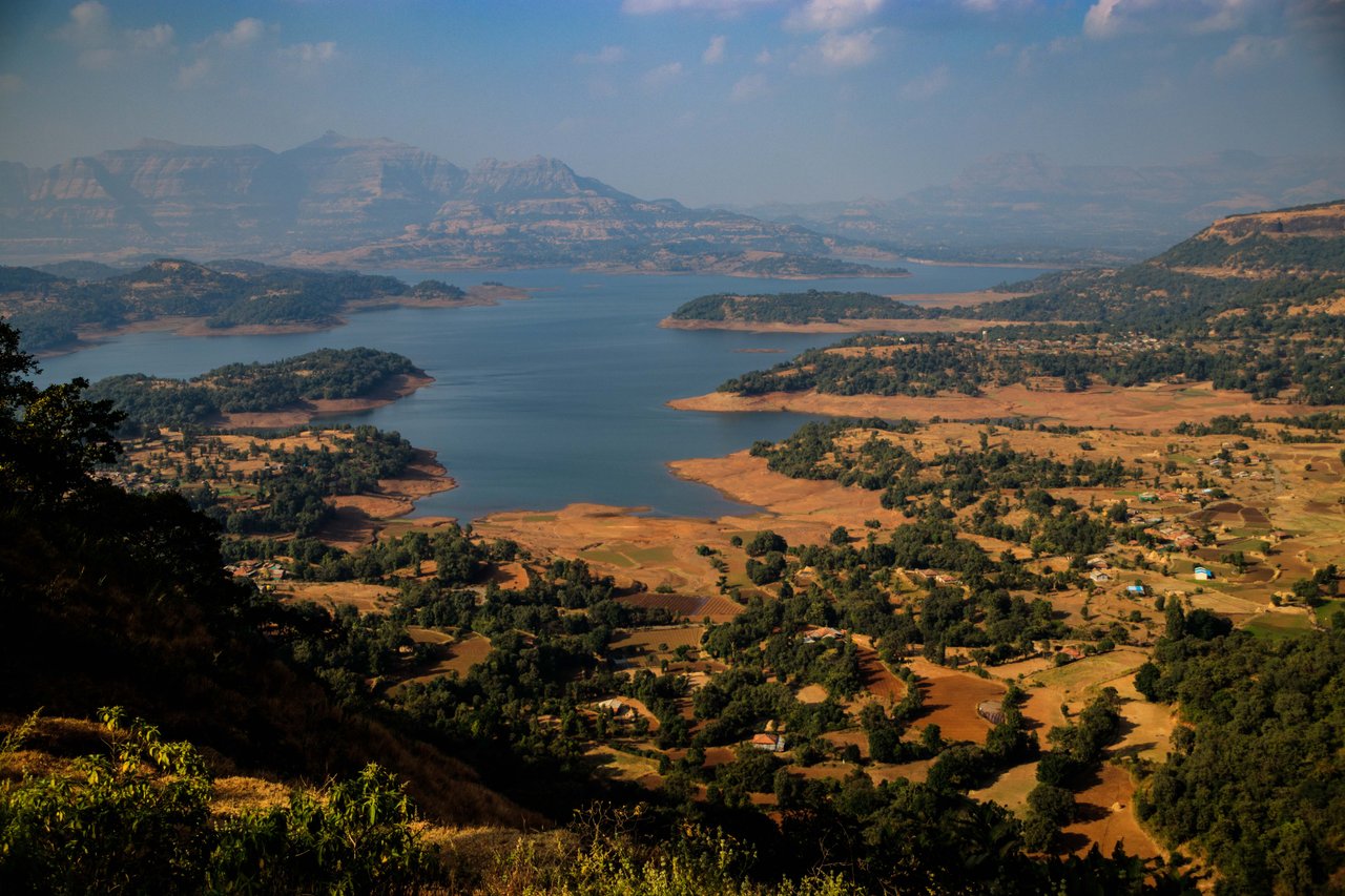
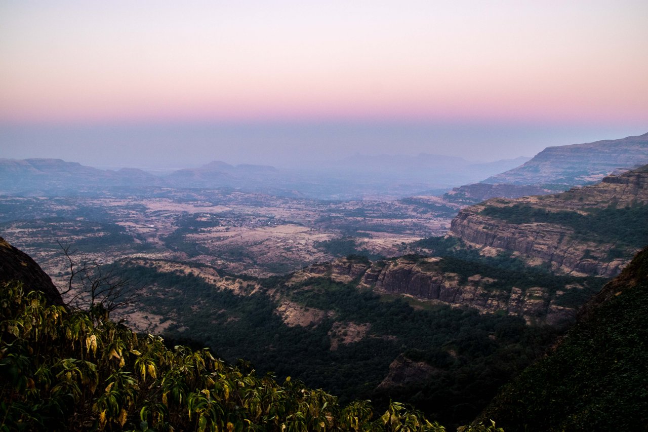
Upon reaching the top, we can see the tops of Kalsubai Peak, Alang, Madan and Kulang hills, while looking down, we can see the sparkling blue water of the dam in Bhandardara. We spend about an hour at the top, eat the lunch we brought with us and I drink boiled water. Around 4 pm, we start descending. We descend a little fast and cross Pobargadh village below and reach Bhandardara with the evening sun.
Raghu says that we will now take a taxi from here and go straight to Sandy where we will sleep and have a good meal. I ask what to do with the motorbike which is parked in Samard village. Raghu says that I will call my friend who lives in Samard village and he will take care of the motorcycle. Meaning that no one is taking the motorcycle anywhere and I will go and bring it back tomorrow.
So this is how our journey to Ratangarh ends. I did some more treks on this trip which I will try to bring in front of you. I hope you liked this hike. Come on friends, see you in the next post where I will bring another new place in front of you, till then have fun and keep smiling.
Disclaimer: This post is originally written in Hindi and I have used Google Translator to translate the Hindi text in English. All the photos have been clicked by me from Canon 77d camera, gopro hero 4+ and edited in lightroom. I want to declare that I have already posted 2 photos of this post on hive.


Comments