The Best Place I've Been (So Far)
13 comments
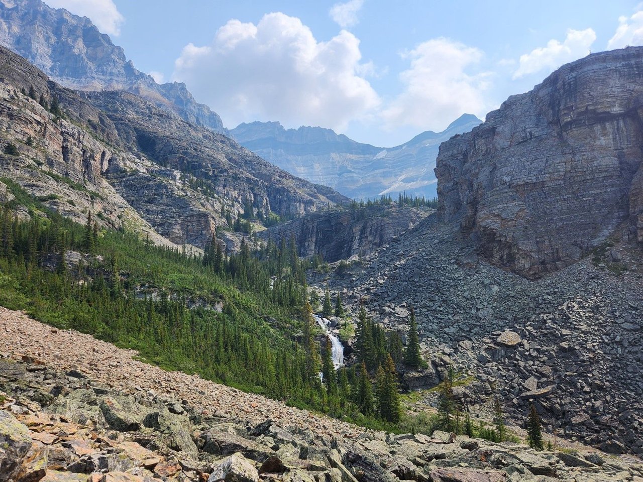
At the top of the Canadian Rockies on the border of British Columbia and Alberta is my happy place. We try to come here as often as possible to enjoy the stunning nature and incredible hiking. Looking at the pictures is almost enough as they just bring back so many fond memories of camping by Lake O'Hara.
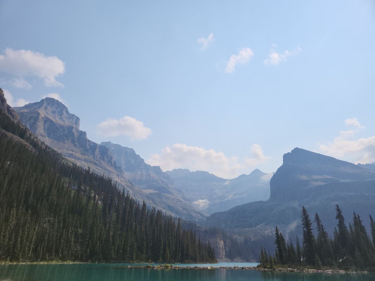
The lake itself changes colours depending on the sun and which angle you are viewing it from. Water cascades from the surrounding glacial peaks into the lake and the only nice months here are July and August, the rest of the year it is a winter wonderland. You can cross country ski and snowshoe in the remote Canadian wilderness. We are not the winter camping type as it could be negative forty.
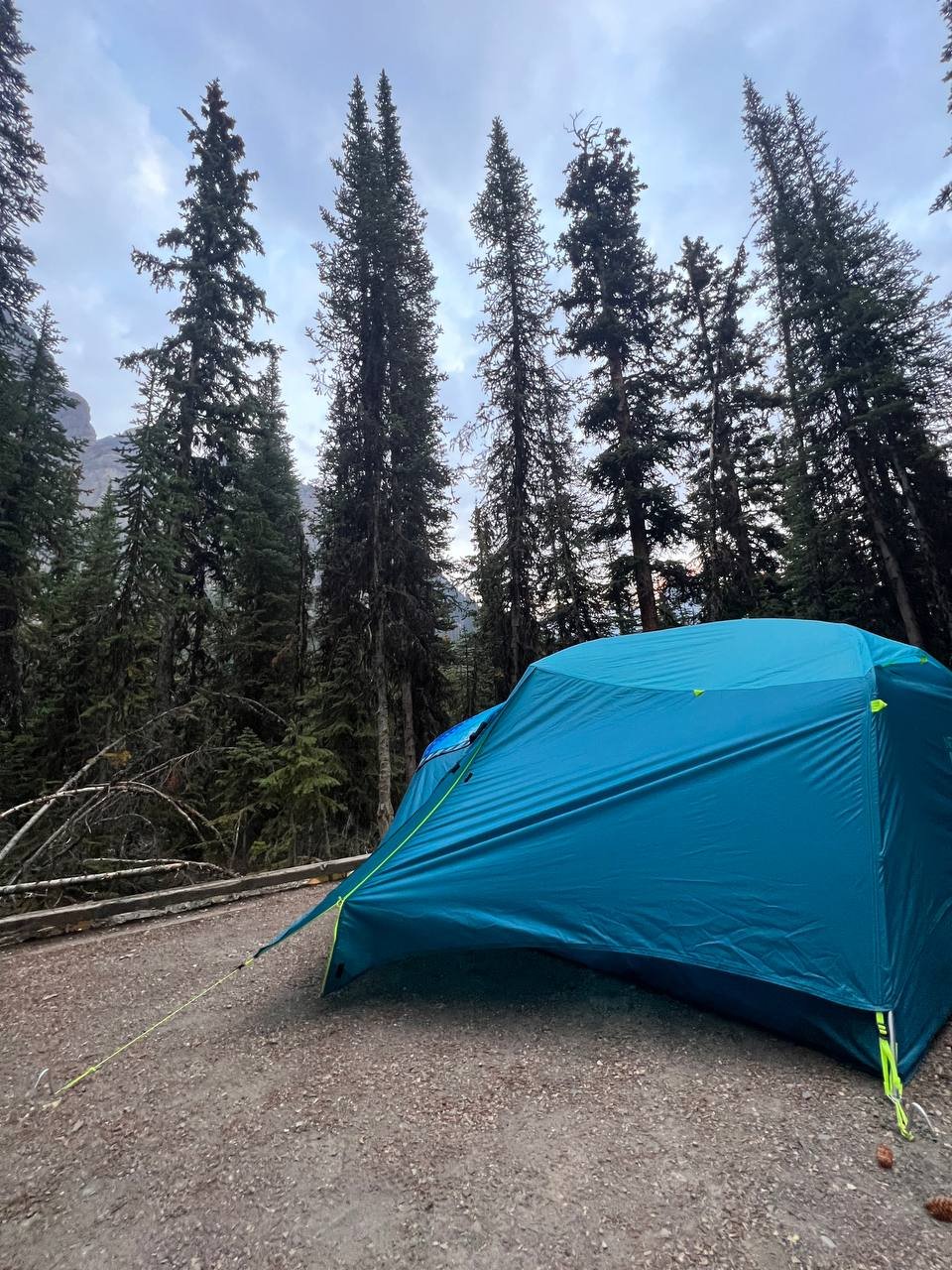
Here is our backcountry tent, to get a camping spot here one has to enter a lotto during a 30 minute period and hope for the best. It is worth it though because you can cram in more hiking. It does not matter if one has to sleep on a thin pad above gravel, we were so tired after walking 30 kilometers in the mountain any bed felt great.
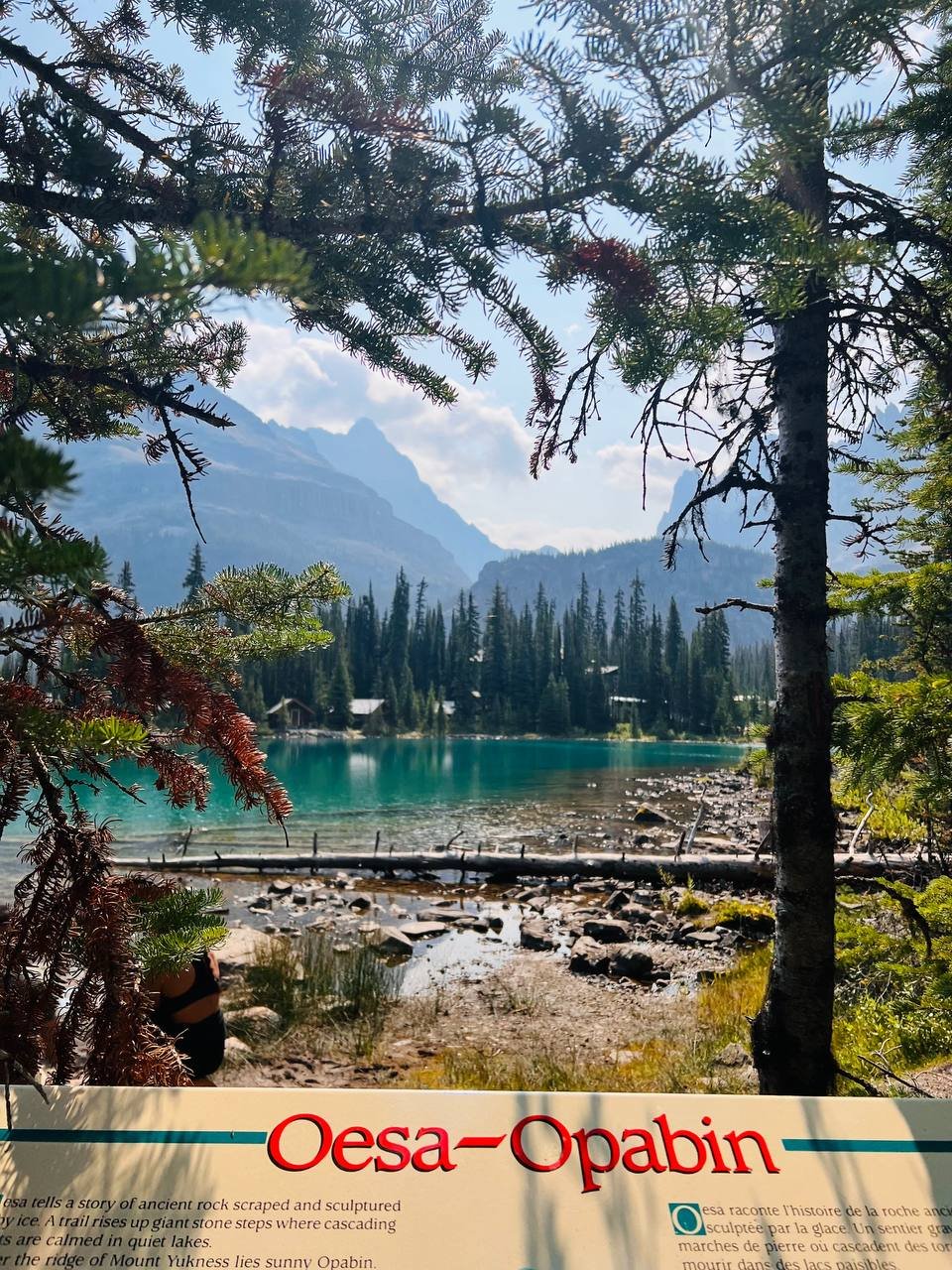
Oesa - Opabin is the most scenic hike, it takes you up from Lake O'Hara to Lake Oesa then across to the Opabin plateau. I have made posts on the hikes before and if you want to see them, feel free to message me below or try here or here. There is far too much going on in this region to fit it all into one blog or even five. The Lake Louise to Golden BC area really is a natural wonder of the world.
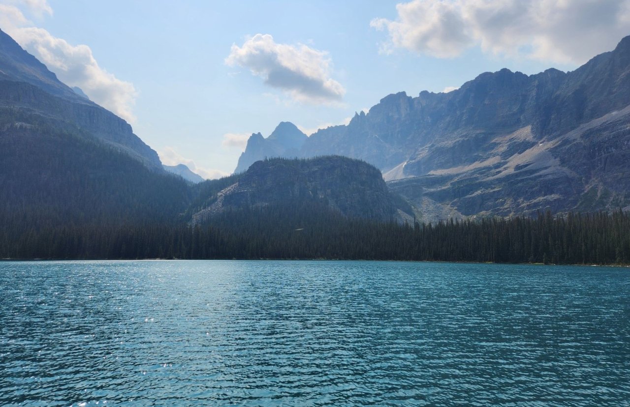
Just look at this perfect water. While it is about five degrees give or take the trails surround the lake and go to various smaller lakes in the area. The views from above down to the lake are second to none and there are so many hiking options one could easily spend a few days here and not see the same view.
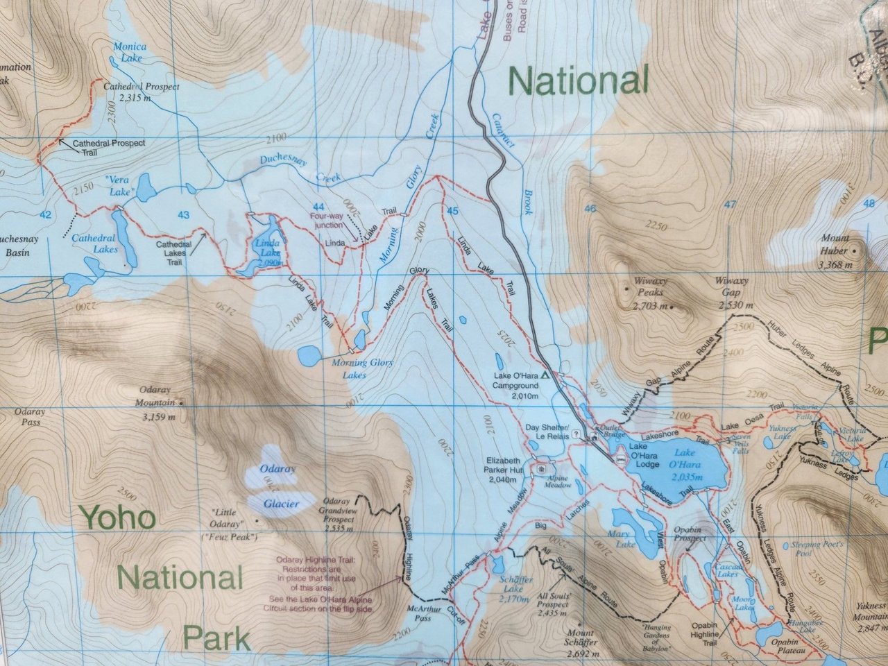
Here is a map of the region. The Alpine Route is the most popular hike by the walk to MacArthur Lake (just south of the map) and Linda lake are also great hikes. You cannot drive here and have to win a lottery to get on a specific bus. It is that amazing. The only other option is walking up a 10 kilometer dirt road, which does not seem like much but then you have to walk back and you are probably coming here to do lots of walking too.
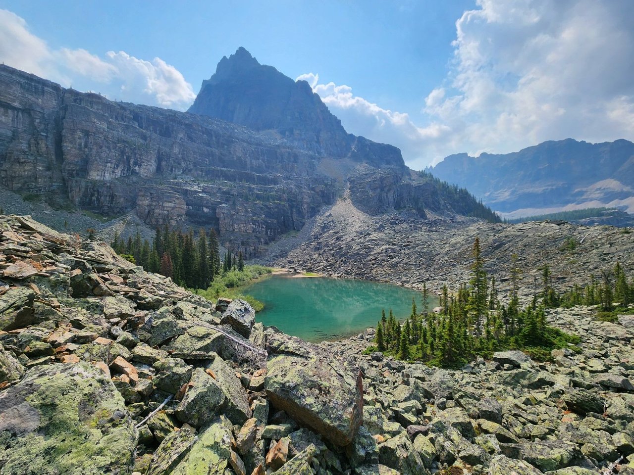
This is one of the many ponds which they probably call a lake but are just pools of water no more than a couple dozen meters across. The all have names, this could be Yukness Lake. We are at around 2200 meters above sea level.
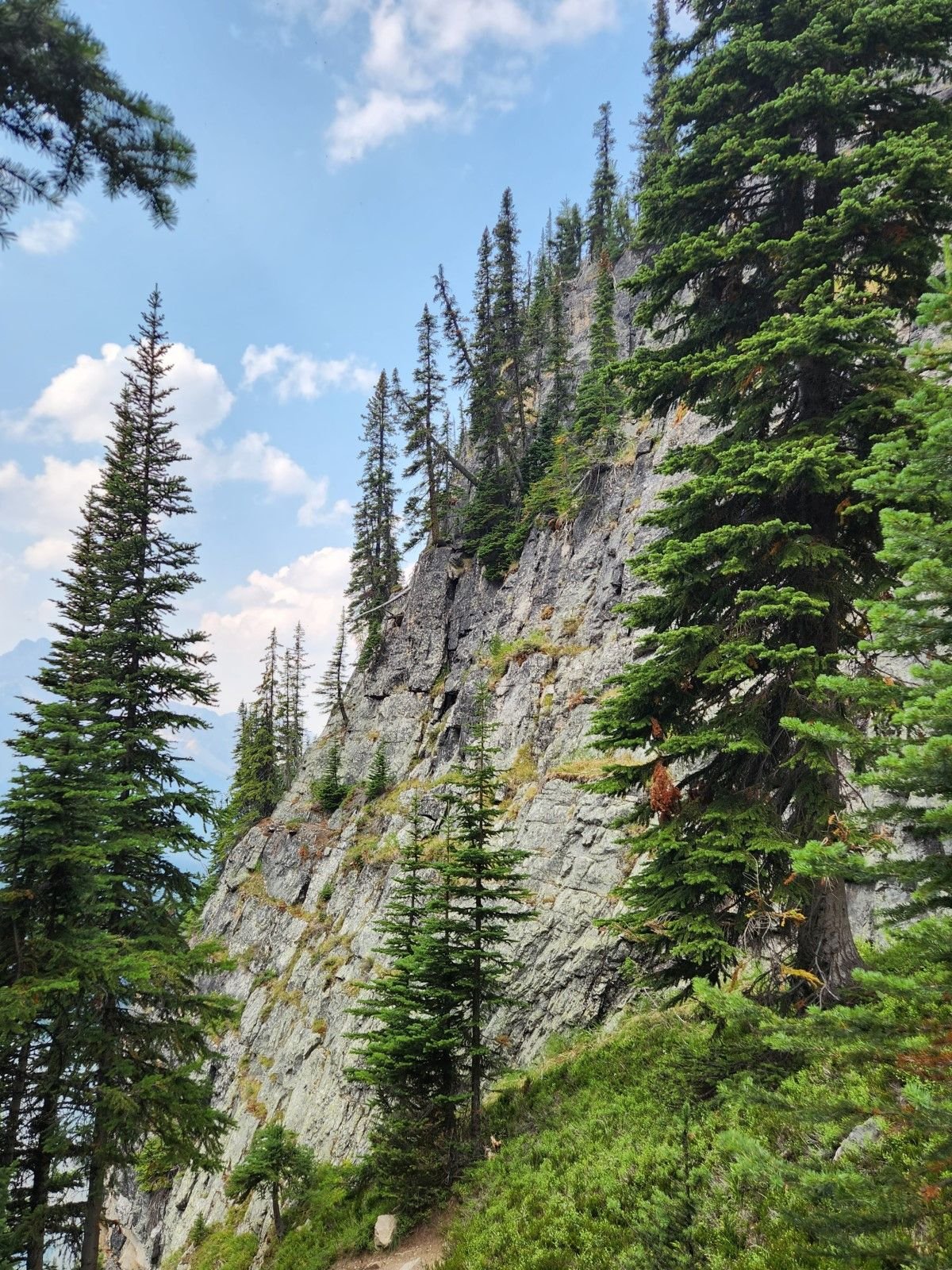
The cliffs surrounding the lake are steep we were walking down from up there when the picture was taken through some very intense switchbacks. This is coming down from the Opabin Plateau.
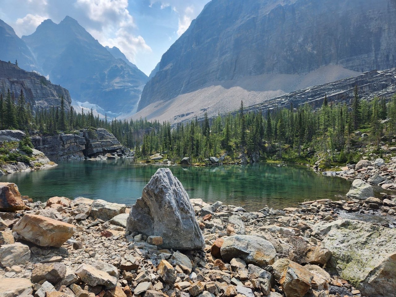
This is another little pond in the area. They are mostly crystal clear with a bluish green tinge from the minerals. One could sit here and ponder life for a few hours or do some yoga.
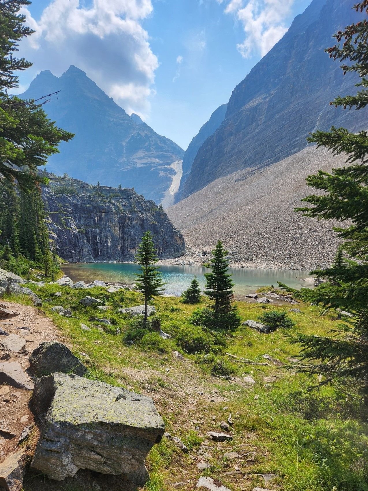
Glaciers, ponds, rocks, nothing but pure unadulterated nature.
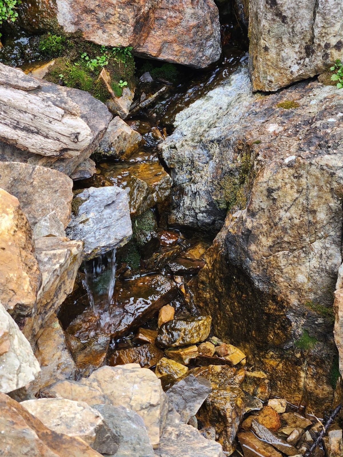
The is the outflow from one of those ponds, at least what is on the surface. More water would be flowing beneath the rocks. The trail can get quite slippery as this was on that cliff crossing our path multiple times as we came down the mountain.
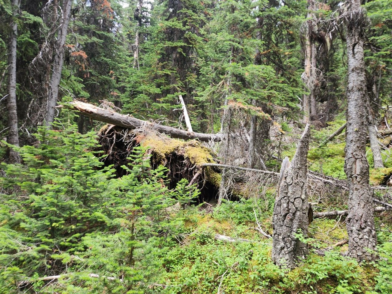
Intense lush greenery. The forest thrives for a few months a year. These trees would be much older than they look because of the stunted growing season. They would not log them in Yoho National Park. There might be the odd forest fire but the area gets a lot of snow and rain so it would take an inferno to do some damage here.
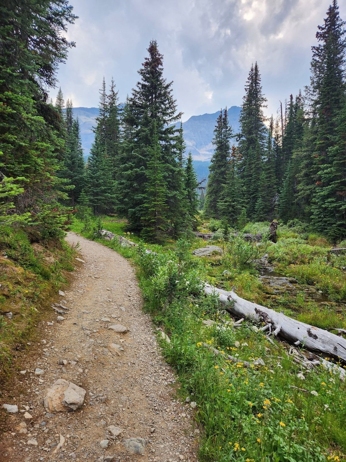
This is a trail to the Elizabeth Parker Hut, a backcountry cabin one can book if they do not feel like sleeping in a tent. They are shared hostel type accommodations but there were propane tanks to keep them warm and the guests had a fire going.
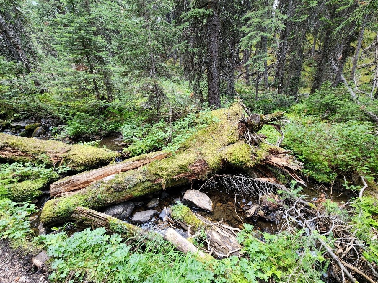
So much nature. As for now we long for good weather, just got an extreme cold alert warning and it might hit minus twenty. Time for a tropical vacation. Thanks for viewing and have a happy new year!
All the photos were taken on an s22 or iPhone 13 pro and are unfiltered.


Comments